Retrieving lake metadata
Overview
Questions
How can I retrieve lake information from Wikipedia?
Objectives
Retrieve some lake data from Wikipedia.
wikilake
The wikilake package provides functions to scrape the metadata tables from lake pages on Wikipedia.
Installation
Stable release from CRAN
install.packages("wikilake")
Development version
devtools::install_github("jsta/wikilake")
Usage
library(wikilake)
# metadata only
lake_wiki("Lake Mendota")
Retrieving data from: https://en.wikipedia.org/wiki/Lake_Mendota
          Name                             Location Primary inflows
1 Lake Mendota Dane County, Wisconsin,United States    Yahara River
  Primary outflows Catchment area Basin countries Surface area Max. depth
1     Yahara River       562 km^2   United States   9740 acres       25 m
  Residence time Shore length1 Surface elevation
1      4.5 years       34.8 km             259 m
                               Frozen     Lat      Lon
1 December 20 (average freezing date) 43.1066 -89.4247
# pretty printing metadata
knitr::kable(tidyr::gather(lake_wiki("Lake Mendota")))
Retrieving data from: https://en.wikipedia.org/wiki/Lake_Mendota
| key | value |
|---|---|
| Name | Lake Mendota |
| Location | Dane County, Wisconsin,United States |
| Primary inflows | Yahara River |
| Primary outflows | Yahara River |
| Catchment area | 562 |
| Basin countries | United States |
| Surface area | 9740 |
| Max. depth | 25 |
| Residence time | 4.5 |
| Shore length1 | 34.8 |
| Surface elevation | 259 |
| Frozen | December 20 (average freezing date) |
| Lat | 43.1066 |
| Lon | -89.4247 |
# metadata + map
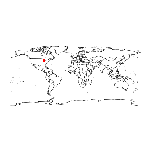
lake_wiki("Gull Lake (Michigan)", map = TRUE)
Retrieving data from: https://en.wikipedia.org/wiki/Gull_Lake_(Michigan)

       Name                                            Location
1 Gull Lake Kalamazoo / Barry counties, Michigan, United States
  Primary outflows Basin countries Surface area Max. depth
1   Gull Creek [1]   United States       8 km^2       34 m
  Surface elevation    Lat     Lon
1             268 m 42.399 -85.411
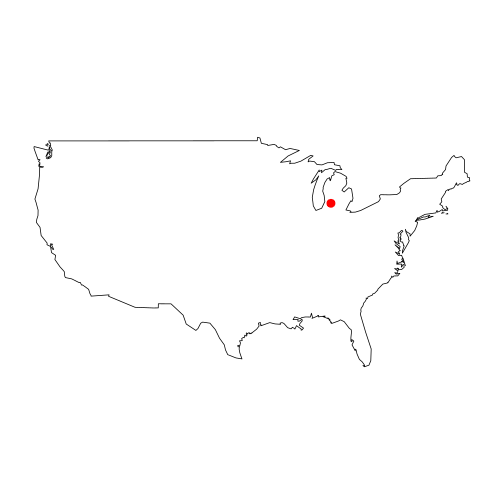
lake_wiki("Gull Lake (Michigan)", map = TRUE, "usa")
Retrieving data from: https://en.wikipedia.org/wiki/Gull_Lake_(Michigan)

       Name                                            Location
1 Gull Lake Kalamazoo / Barry counties, Michigan, United States
  Primary outflows Basin countries Surface area Max. depth
1   Gull Creek [1]   United States       8 km^2       34 m
  Surface elevation    Lat     Lon
1             268 m 42.399 -85.411
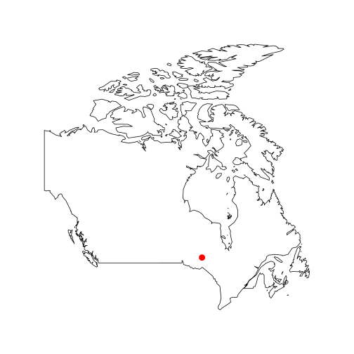
lake_wiki("Lake Nipigon", map = TRUE, regions = "Canada")
Retrieving data from: https://en.wikipedia.org/wiki/Lake_Nipigon

          Name Location Primary outflows Catchment area Basin countries
1 Lake Nipigon  Ontario    Nipigon River     25400 km^2          Canada
  Surface area Average depth Max. depth Water volume Shore length1
1    4848 km^2        54.9 m      165 m     248 km^3       1044 km
  Surface elevation   Lat   Lon
1             260 m 49.83 -88.5
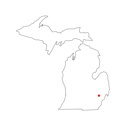
lake_wiki("Cass Lake (Michigan)", map = TRUE, "state", region = "Michigan")
Retrieving data from: https://en.wikipedia.org/wiki/Cass_Lake_(Michigan)

       Name                 Location Basin countries Surface area
1 Cass Lake Oakland County, Michigan   United States   1280 acres
  Max. depth Surface elevation    Lat     Lon
1       37 m             283 m 42.606 -83.365