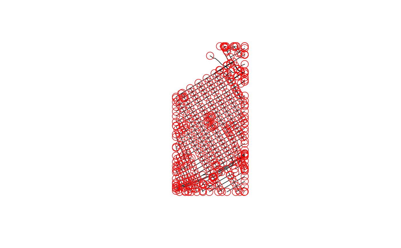
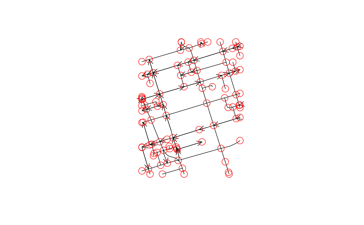
Ontario city centre networks
Ontario city centre network sample data for Ottawa and Toronto, in long/lat WGS84
data(ottawacentre)
data(torontocentre)
Format
Objects of class SpatialLinesDataFrame that contain as attribution amonst others
- DIRECTION_
numeric; indicating link direction: 0 two-way, 1 one-way down-link, -1 one-way up-link
Note
Distributed under the Ontario Open Data Licence (https://www.ontario.ca/page/open-government-licence-ontario)
Examples
library(sp)
data(ottawacentre)
oc = SpatialNetwork(ottawacentre, direction = ottawacentre$DIRECTION_)
plot(oc)points(oc)data(torontocentre)
tc = SpatialNetwork(torontocentre, direction = torontocentre$DIRECTION_)
plot(tc, arrow_size = .5)points(tc)