extract method for SpatialNetwork
extract method for SpatialNetwork
summary method for SpatialNetwork
spTransform method for SpatialNetwork
As("SpatialNetwork", "SpatialPointsDataFrame")
As("SpatialNetwork", "igraph")
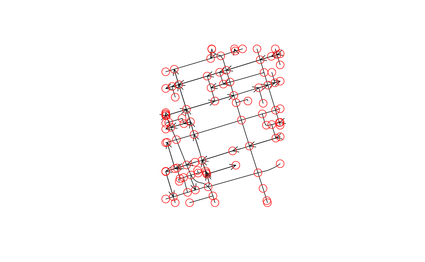
plot method for SpatialNetwork
# S4 method for SpatialNetwork
[(x, i, j, ..., drop = TRUE)

# S3 method for SpatialNetwork
points(x, ..., col = "red", cex = 2)

# S4 method for SpatialNetwork
summary(object, ...)

# S3 method for summary.SpatialNetwork
print(x, ...)

# S4 method for SpatialNetwork,ANY
spTransform(x, CRSobj, ...)

# S4 method for SpatialNetwork,missing
plot(x, y, ..., arrow_size = 0)
Arguments
| x | object of class SpatialNetwork |
|---|---|
| i | numeric; Lines to select (and any edges referring to them) |
| j | numeric; graph edges to select (and any Lines they refer to) |
| ... | ignored |
| drop | logical; ignored |
| col | color |
| cex | symbol size |
| object | object of class SpatialNetwork |
| CRSobj | object of class CRS |
| y | ignored |
| arrow_size | numeric; scaling factor for the arrow head |
Examples
data(torontocentre)
tc = SpatialNetwork(torontocentre, direction = torontocentre$DIRECTION_)
library(sp)
plot(tc, arrow_size = .5)points(tc)