This function takes a rasterstack of pathdistances and generates surfaces by weighting parameter values by these distances
ipdwInterp(
  sf_ob,
  rstack,
  paramlist,
  overlapped = FALSE,
  yearmon = "default",
  removefile = TRUE,
  dist_power = 1,
  trim_rstack = FALSE
)
Arguments
- sf_ob
sf object with point geometries
- rstack
RasterStack of path distances
- paramlist
character. String representing parameter names
- overlapped
logical. Default is FALSE, specify TRUE if some points lie on top of barriers
- yearmon
character. String specifying the name of the sf object
- removefile
logical. Remove files after processing?
- dist_power
numeric. Distance decay power (p)
- trim_rstack
logical. Trim the raster stack by the convex hull of sf_ob
Value
RasterLayer
Details
Under the hood, this function evaluates:
$$V = \frac{\sum\limits_{i=1}^n v_i \frac{1}{d_i^p}}{\sum\limits_{i=1}^n \frac{1}{d_i^p}}$$
where d is the distance between prediction and measurement points,
v_i is the measured parameter value, and p is a power parameter.
Examples
library(sf)
sf_ob <- data.frame(rnorm(2))
xy <- data.frame(x = c(4, 2), y = c(8, 4))
sf_ob <- st_as_sf(cbind(sf_ob, xy), coords = c("x", "y"))
m <- matrix(NA, 10, 10)
costras <- raster(m, xmn = 0, xmx = ncol(m), ymn = 0, ymx = nrow(m))
# introduce spatial gradient
costras[] <- runif(ncell(costras), min = 1, max = 10)
for (i in 1:nrow(costras)) {
costras[i, ] <- costras[i, ] + i
costras[, i] <- costras[, i] + i
}
rstack <- pathdistGen(sf_ob, costras, 100, progressbar = FALSE)
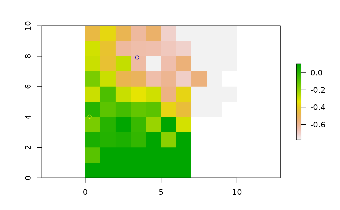
final.raster <- ipdwInterp(sf_ob, rstack, paramlist = c("rnorm.2."), overlapped = TRUE)
plot(final.raster)
plot(sf_ob, add = TRUE)