Plotting a River Network
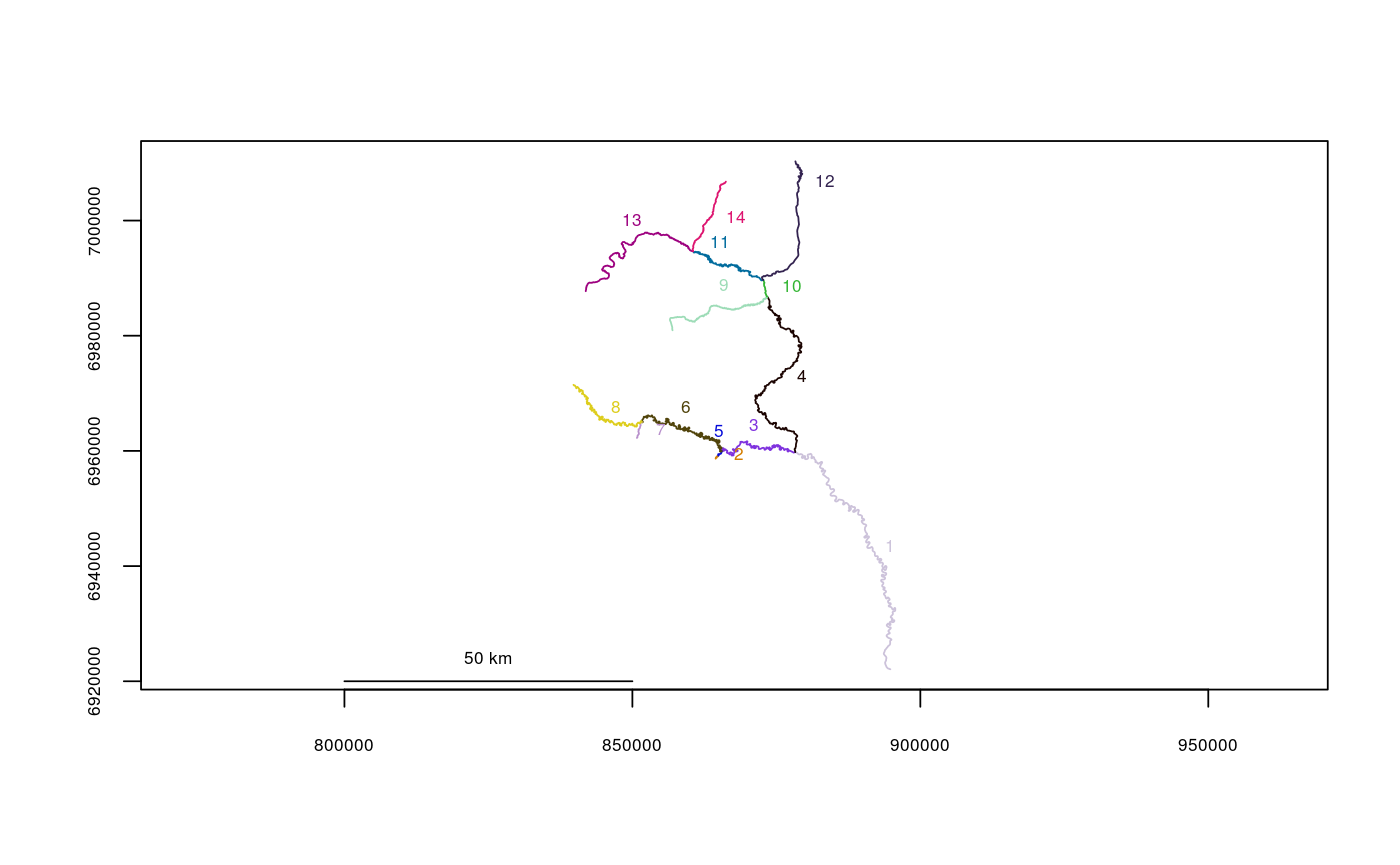
S3 plotting method for the rivernetwork-class. Produces a map of all river segments of a river network object.
# S3 method for rivernetwork
plot(x, segmentnum = TRUE, offset = TRUE, lwd = 1,
  cex = 0.6, scale = TRUE, color = TRUE, empty = FALSE, linecol = 1,
  xlab = "", ylab = "", ...)
Arguments
| x | The river network object to plot |
|---|---|
| segmentnum | Whether or not to plot segment numbers (defaults to TRUE) |
| offset | Whether to offset segment numbers from lines (defaults to TRUE) |
| lwd | Line width |
| cex | Global character expansion factor for plotting |
| scale | Whether or not to give x- and y-axes the same scale |
| color | How to differentiate segments. If |
| empty | Creates an empty plot if set to |
| linecol | Line color to use if |
| xlab | Label for X-axis (defaults to "") |
| ylab | Label for Y-axis (defaults to "") |
| ... | Additional plotting arguments (see par) |
Note
This function is intended to provide basic visual checks for the user, not for any real mapping.
Examples
data(Gulk)
plot(x=Gulk)