Add Vertices To Maintain a Minimum Distance Between Vertices
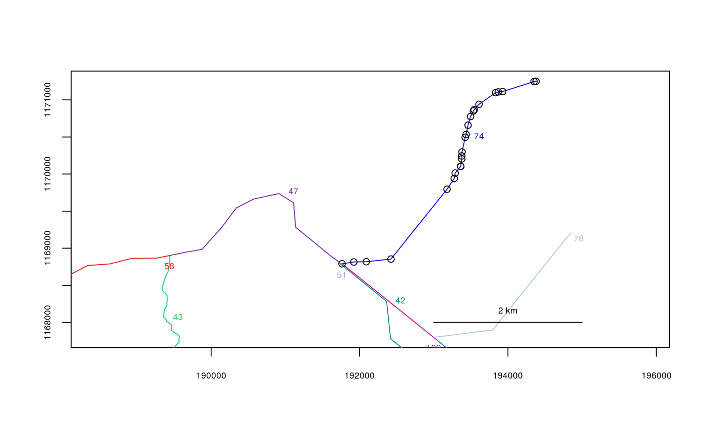
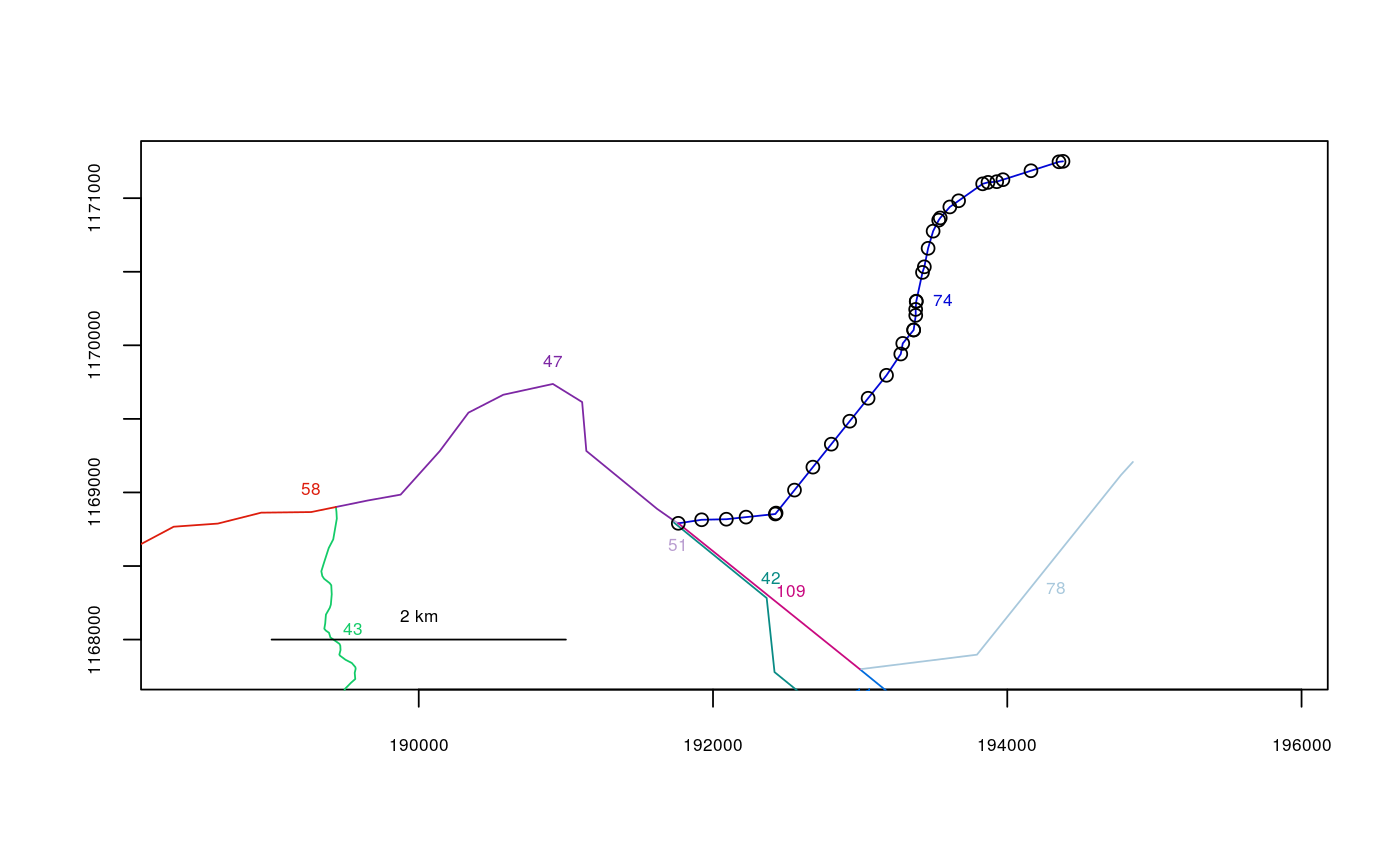
In certain cases, such as when there is a lake within a river system, there may be long, straight lines in a river network with vertices only at either end. In these cases, any point data along these stretches would be snapped to the vertices at either end. This function automatically adds equally-spaced vertices along the straight line, according to a specified minimum allowable distance between vertices.
addverts(rivers, mindist = 500)
Arguments
| rivers | The river network object to use. |
|---|---|
| mindist | The minimum distance to use between vertices. Defaults to 500. |
Value
A new river network object with the specified segments connected (see rivernetwork)
Note
This function is called within cleanup, which is recommended in most cases.
See also
line2network
Examples
data(Kenai3) Kenai3split <- addverts(Kenai3,mindist=200)#>points(Kenai3$lines[[74]]) # vertices before addingpoints(Kenai3split$lines[[74]]) # vertices after adding

